-40%
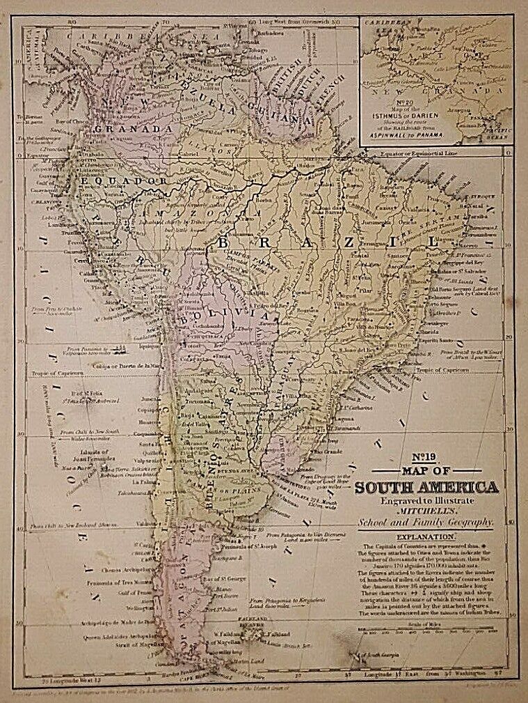
1864 Johnson's SOUTH AMERICA- Folio Size map
$ 11.35
- Description
- Size Guide
Description
PACIFIC SHORE MAPS1862 Johnson's SOUTH AMERICA
Cartographer: Johnson and Ward
Date and Place: 1864 New York City
Publisher: Johnson and Ward
Reference: "New Illustrated Family Atlas with Illustrations...”
Dimensions & Type: 23 x 16 inches ; engraved map with original hand color and decorative border
Condition: VG, strong strike
Description: Nice color and Topo detail. Bolivia with access to the Pacific , Ecuador smaller than today. Argentine Republic but Patagonia separate. Dated 1863 on map, but from an 1864 edition
........
Terms :
Shipping via USPS 1st Class in USA. Overseas shipping as per prices listed on bid details.
Please note: No refunds on overseas items sent without tracking .
We gladly take Paypal. We mail all items within 24 hours of receipt of funds. Any questions, please email or you can call: Pacific Shore Maps. We only sell items relating to cartography. We answer all questions in a timely manner. No reproductions unless clearly stated.


