-40%
GUIANA AMAZONIA 1635 WILLEM BLAEU UNUSUAL LARGE ANTIQUE ENGRAVED MAP 17e CENTURY
$ 184.8
- Description
- Size Guide
Description
Title of the map :"GUIANA sive AMAZONUM REGIO"
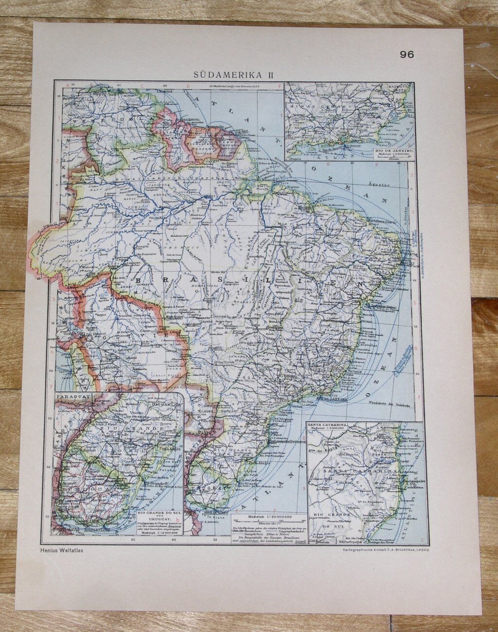
Large, unusual and nice antique copper engraved map of French Guyana, Guyana, Suriname,
by Willem Janszoon BLAEU (1571-1638),
XVIIe Century.
The map is embellished with two nice cartouches, a large compass, sailing ships and a sea monster.
The map extends from Margarita island to the northern part of Brazil with the Amazon delta. We can see the representation of the mythical "Prime Lacus", and El Dorado named "Manoa o el Dorado", le golden city of the Incas.
Size with margins :
49,7 x 59 cm / 19,2 x 23,2 inches
Edition :
from "Theatrum Orbis Terrarum, sive Atlas novus",
Amsterdam, 1635, XVIIe Century, French edition.
Condition :
very good condition, large margins, old colors.
If you buy more than one item, you have to pay only one shipping cost.
All shipments are insured.
We send maps by DHL Express.
WE DON'T SELL LASER AND COPIES MAPS, ALL WE SELL IS ORIGINAL AND ANTIQUE
Due to the age an type of paper, some imperfections are to be expected. Please examine the images provided carefully, and if you have any questions please ask and we will be happy to help you


